The Jungle: District X
The 'District X' master plan is a proposal responding to Amazon's 2017 announcement for bids to their secondary headquarters, Amazon HQ2. While the headquarters ultimately moved to the Eastern Seaboard, at the time of this proposal (2017), Denver ranked in the top 10 prospective cities. The plan is divided up in the following sections:
PHASE I: Location
𐎚 Vision
𐎚 Project Precedence
𐎚 Site Selection
𐎚 Site Analysis
PHASE II: Program
𐎚 Design Precedence
𐎚 Urban Design
𐎚 Catalytic Projects
Vision
Recent economic momenta from globalization and digitalization tests the resiliency of cities and industries. Companies competing for skilled human capital strive to locate in metropolises which are: sustainable, socially conscientious, active, and creative. In turn, cities work to bolster said features to entice industries to their economies.
Addressed to Amazon and the cities of Denver and Commerce City, this master plan bridges the mentioned competing forces to propose a vibrant community. The Jungle's programming entices stakeholders' collaboration to creatively retrofit the dilapidated industrial area into a mid-to-high-density, mixed-use district of innovation. By taking advantage of Colorado's health and fitness culture, The Jungle proposes this project as a playground centered around sport and activity.
Precedence
22@ Barcelona
Keywords: sustainable, resilient, socially conscientious, active, creative & innovative.
The infographic above demonstrates the economic and social impacts the 22@ Barcelona Project had in the Poblenou neighborhood it transformed.
After the goals laid out in the introduction and vision were set, our team researched case studies of district revitalization centered around innovation. Among the numerous inspirational projects, 22@ Barcelona stood out for correlating with The Jungle's priorities. 22@ Barcelona was notably successful with its impact transforming a neglected industrial district into a vibrant area, with an identity of innovation.
22@ Barcelona was fashioned with the collaborative vision of academic institutions, the existing industrial companies, design firms and the City of Barcelona. The district was coined: technological & innovative.
Sources:
𐎚 Catalunya Construye (pdf)
Complete replications of urban projects will likely fail, as a plan's potential is dependent on its context. The goal is not to create 22@ Denver, but to be inspired from what was done, how it was conceived, and what the resulting impacts were. Research from 22@ Barcelona pushed our team to recognize Denver's achieved accomplishments of innovation and creativity stemmed from the planning of the RiNo Art District.
River North (RiNo) is a historically industrial area encompassing four neighborhoods north of the Denver CBD. RiNo is being converted into a mixed use innovation district itself. Indeed, the idea of incorporating The Jungle into RiNo was considered. However, because most of RiNo is either already built out or being piecemealed together, it was ruled out from the site selection. HQ2 proposes a large project, and even if the space was available, land prices are already soaring in this art district. The scale of HQ2 restrains prospective sites, but also presents an opportunity to consider larger blighted areas. Larger dilapidated areas are more likely to accommodate cheaper land and are more likely to be successfully transformed by a large proposal than smaller renovations. This is where the large proposal begins.
Sources:
𐎚 RiNo District Website 𐎚 Sasaki (firm) 𐎚 RiNo plan submittal to Denver (PDF) 𐎚 5280 - Denver's Mile High Magazine
Site Selection
Using ArcGIS to layer census information and data sourced from DRCOG (Denver Regional Council of Governments), the prospective sites for The Jungle were narrowed to four selections. Based off of the successes from the Denver and Barcelona precedence studies, industrial areas were preferred to minimalize concerns of displacement. Site selection focused on the following criteria: Education, Income, Density, Social Activity, and Access to Transportation:
Image is not to scale and for illustrative purposes only. For scaled images with more information on specific data, please see the individual maps below.
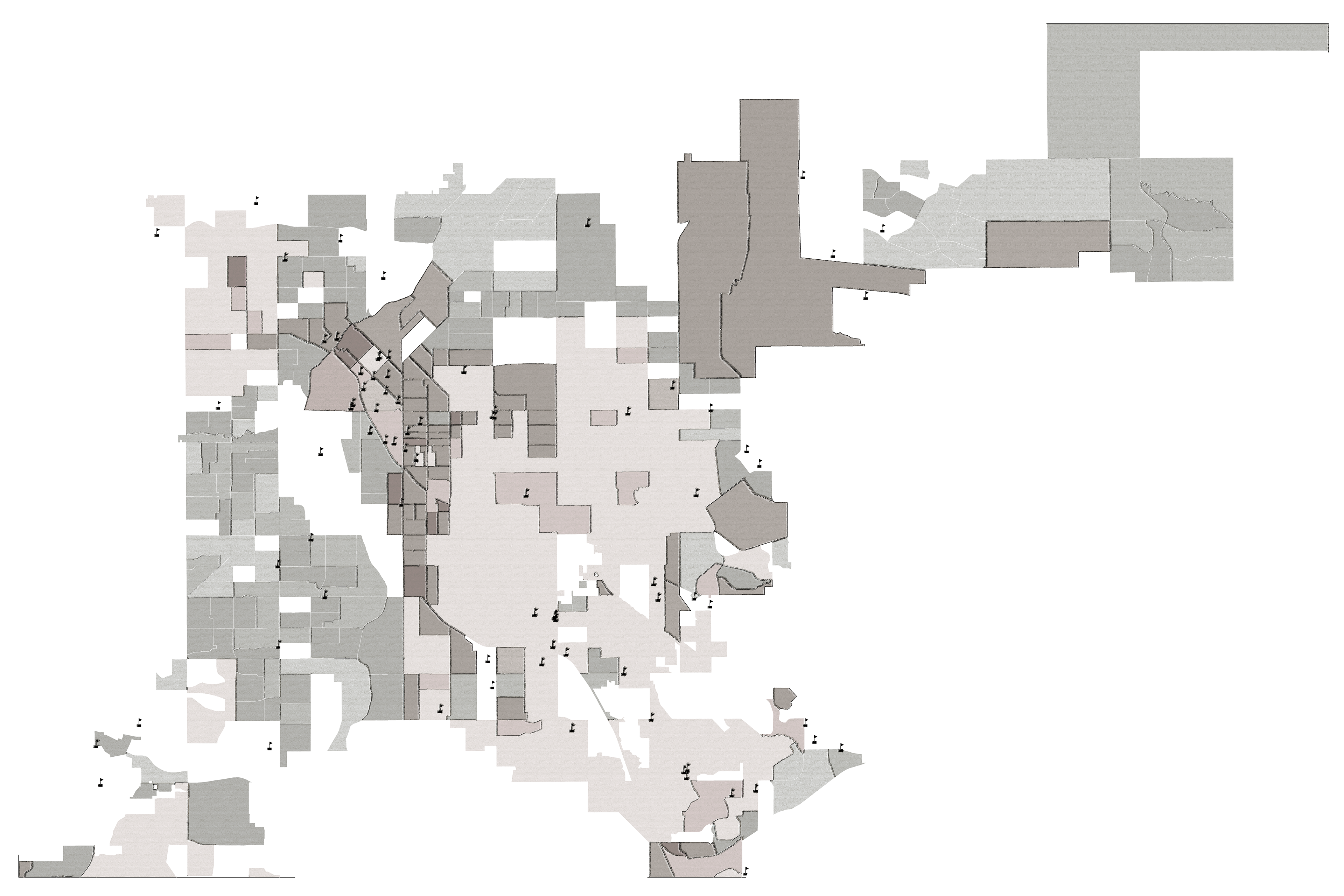
Education
The Jungle will offer diverse employment opportunities necessitating an equal diversity of work and educational experience. The district is ideally placed in an area with a young-middle aged majority to bring more longevity to employee retention. Because younger demographics are more likely to have children in the near future, it is recommended the city work with the school districts to protect schools from being strapped for resources.
Income
Project can bolster local economy by providing an economic base catering to middle-upper class patrons. This strategy works if policy protects working-class employees. Without said protection (i.e. wages), living costs augment while pay stagnates; therefore, driving displacement. Mid-upper income neighborhoods to be in close proximity to attract the desired skilled workforce. Long commutes or lower-income housing may otherwise deter such capital.
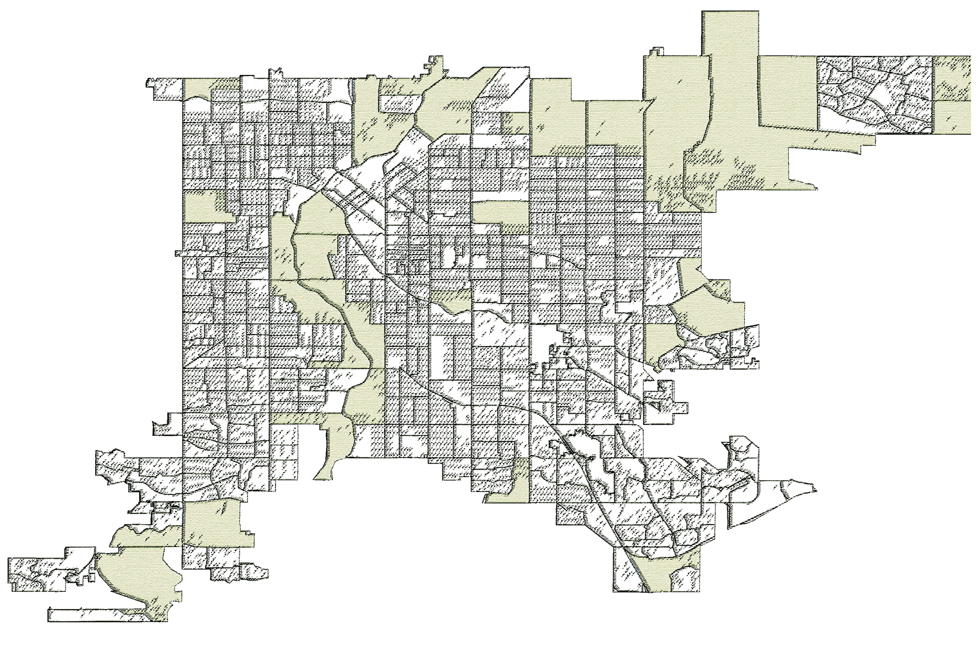
Density
A delicate balance between low-mid density is needed to support the Jungle’s programming. Higher density areas have higher priced land; lower density areas have less access to services. Because of the scale of the Jungle, its completion would supply increased services to surrounding areas and help bolster the economy. However, it would be intrusive to place the district in an area with extremely low density, where the Jungle would shadow the surrounding aesthetics of the area.
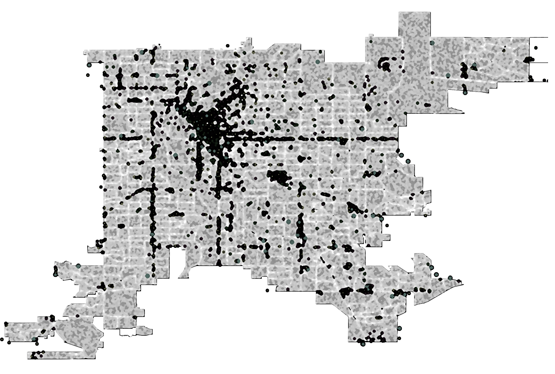
Social Activity
Programming of the Jungle assumes the following interests for HQ2 and local governance: HQ2 necessitates vibrant social scenes to attract skilled capital; local governance demands projects which bolster identity & revenue (particularly with disadvantaged communities). Less social activity is preferred because new businesses are more likely to come in and meet the increased demand; therefore augmenting local economies.
Transportation Access
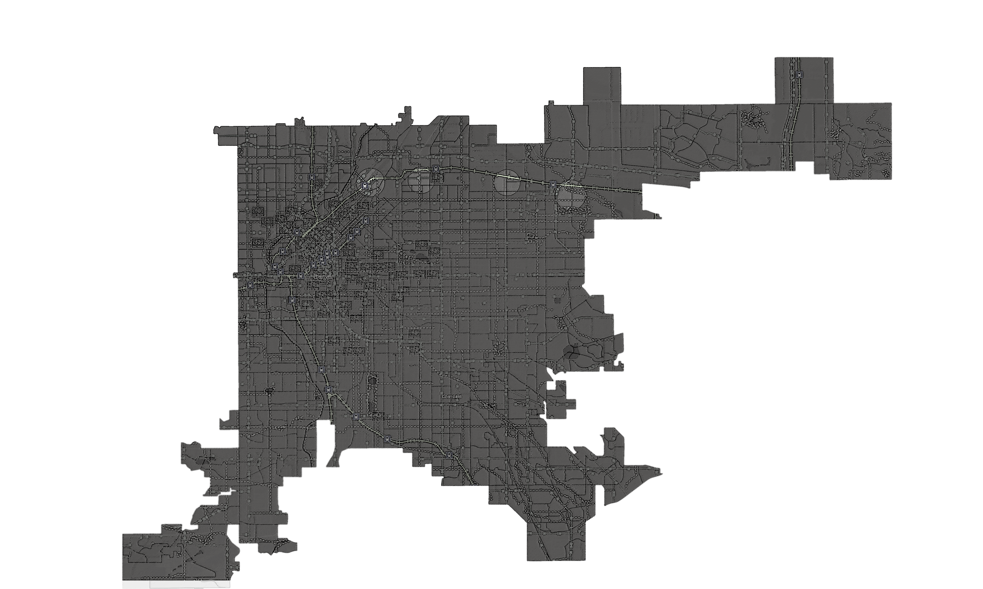
Transportation and highway access are important considerations for the siting of the Jungle. Mid- high-density mixed-use areas call for street circulation and public transportation services which are tightly integrated with the surrounding urban fabric. Highways and a reasonable distance to a major airport ensure access to freight services and trade.
Education
Densities
Attractions
Transportation Access
Final Selection | Site 3: Sandcreek
Sandcreek is final selection. Sandcreek is preferred for its absence of displacement concerns. The lack of schools and the missing commuter rail station can be resolved with project phasing. Financing for needed interventions can be made with the increased revenue the district is expected to bring.
Geographical data is layered and the overlaid information narrows potential areas for the Jungle to four areas along the i70 vcorridor through Denver. These four areas are named and compared for their respective qualities. RiNo is ruled out for its numerous disadvantages. The other three sites hold equivalent levels of favorable over unfavorable qualities.
Displacement becomes a primary qualifier for the final selection because of existing sensitivities of said displacement apparent throughout the front range (and the greater nation). The decision to concentrate on displacement rules out the 40th & Colorado and Montbello sites.
Sandcreek is limited in its current capacity for schools and without an existing commuter rail stop. However, as the project is built, cities and intergovernmental agencies can help alleviate these problems with new projects - which can be paid for with the increased revenue the district is expected to bring.
Sandcreek Site Analysis
After a site selection process, the next step is a site analysis of its qualitative and identifiable features. The site is investigated for such features as they correlate with the project priorities. The district must be large enough to house HQ2 and additional businesses/housing. HQ2 alone, does not warrant the financing of the public infrastructure it necessitates. And, urban projects with public support demand benefits to the greater public - not solely the interests of Amazon. Infrastructure, displacement, size/bulk, & character become the key foci in the site analysis.
First, the greater area is evaluated for its zoning (land-use) and transportation infrastructure; stakeholders are then mapped out; the area is frequented to identify its characteristics; finally, everything is put together for a SWOT analysis: strengths, weaknesses, opportunities, and threats.
Specific boundaries are mapped out; proposals for infrastructure, zoning, and project phasing are integrated into the project. This aggregation of data and proposals are then interlaced with the greater vision of the district.
This information guides the master plan of The Jungle. It is essential for the key design and catalytic projects which are explored in the following sections.
Transportation & Zoning
Industrial displacement is a concern for employment opportunities and the regional economy. However, commercial and (especially) residential displacement risk these same considerations, in addition to concerns of social fabric, identity, culture, etc. This project puts weight on creating mixed-use opportunities. Integrating residential and commercial zoning into industrial areas brings apprehensions of health and environmental justice. Concerning public perception, this remains easier then integrating industrial spaces into established commercial and residential zones.
Industrial zoning is not a catch-all ‘landfills and polluting factories.’ There are ways to integrate industrial zoning into mixed-use residential spaces with flex- and light-industrial zoning (distribution centers, storage, assembly plants, tech and medical labs, etc.). If The Jungle is to integrate the existing industrial economy into its proposed mixed-use identity, these specific industrial regulations are potential solutions for said health and environmental justice conflicts. A caveat to this proposal is what to do with the existing Superfund site. This unique challenge will be discussed in the final chapter.
The first step of the site analysis is to look at the existing transportation systems and land-use regulations. This information is used to propose safe and creative strategies for integrating the project into the existing urban lattice. Understanding the transportation system enables a picture of what networks could be affected by this project (for better and for worse) and what resources would be needed to support the transportation demands of this proposal. Analyzing the existing industrial zoning shows how the project could be phased in a way that supports the long-term interests of the Jungle, and with minimal adversity to the existing businesses.
Stakeholders
‘Mapping’ connections between stakeholders is an essential component of any master plan. Once stakeholder groups are identified, they are grouped into categories (utility groups, residents, etc.). The depth of relations between groups are measured by existing relationships. These relations are a tool for efficient programming: to make use of existing networks and spheres of influence.
Stakeholder maps can show which groups will need to work together to ensure the project is carried out in an equitable manner. Groups will have specific responsibilities and ownership of how the Jungle is phased out. Governmental bodies will have particular involvement in ensuring all voices are heard and disputes are handled with 3rd party representation.
Fieldwork
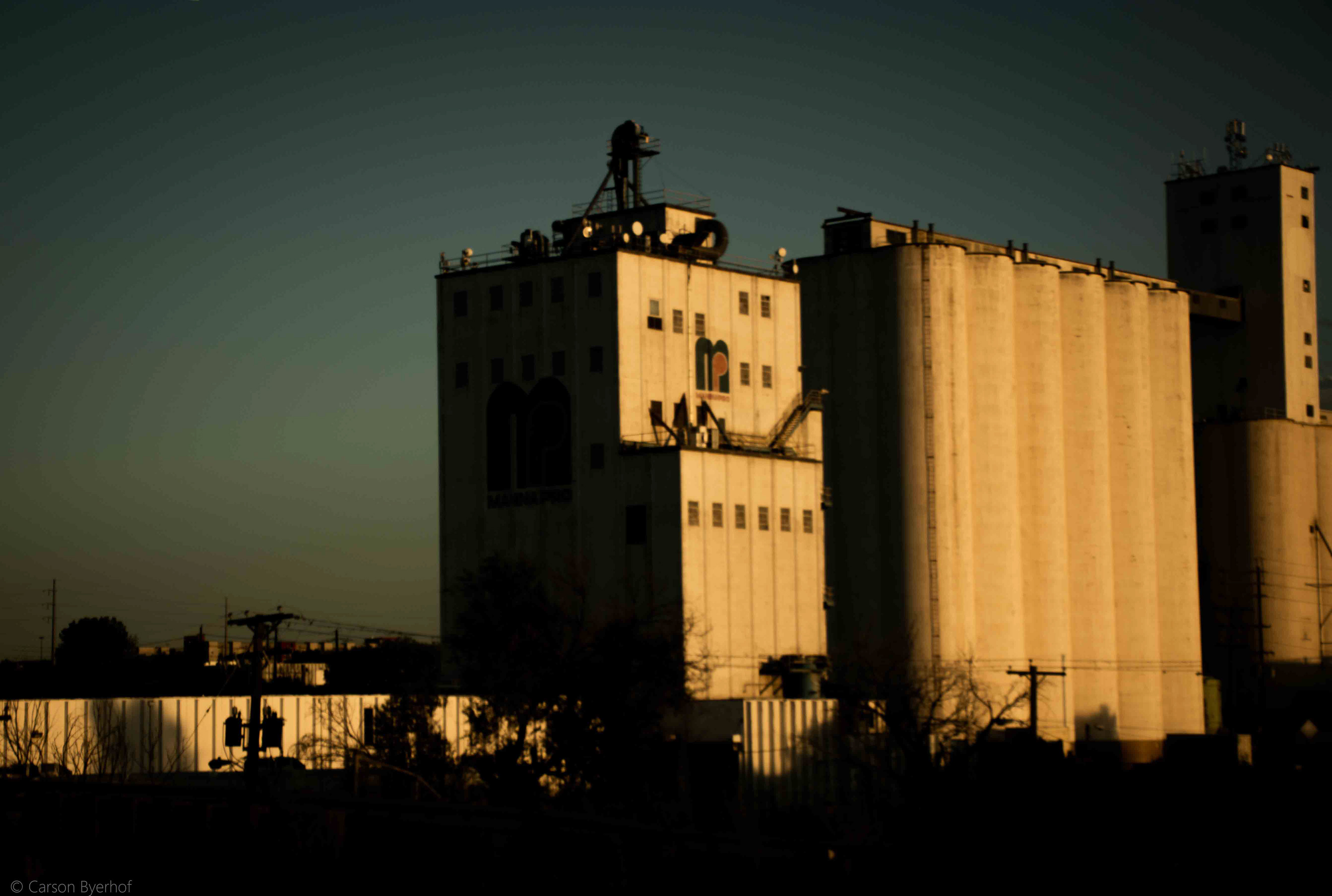
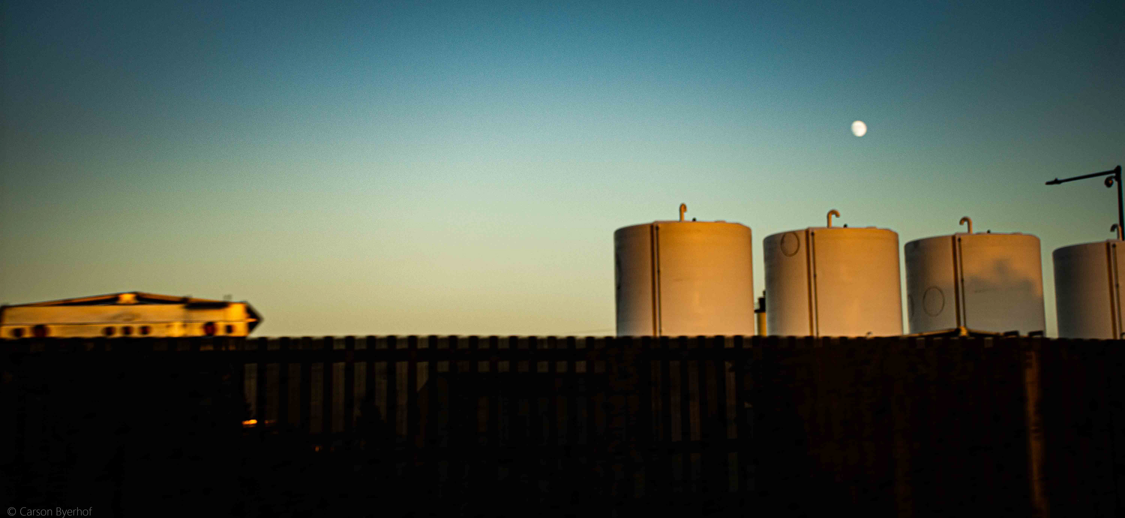
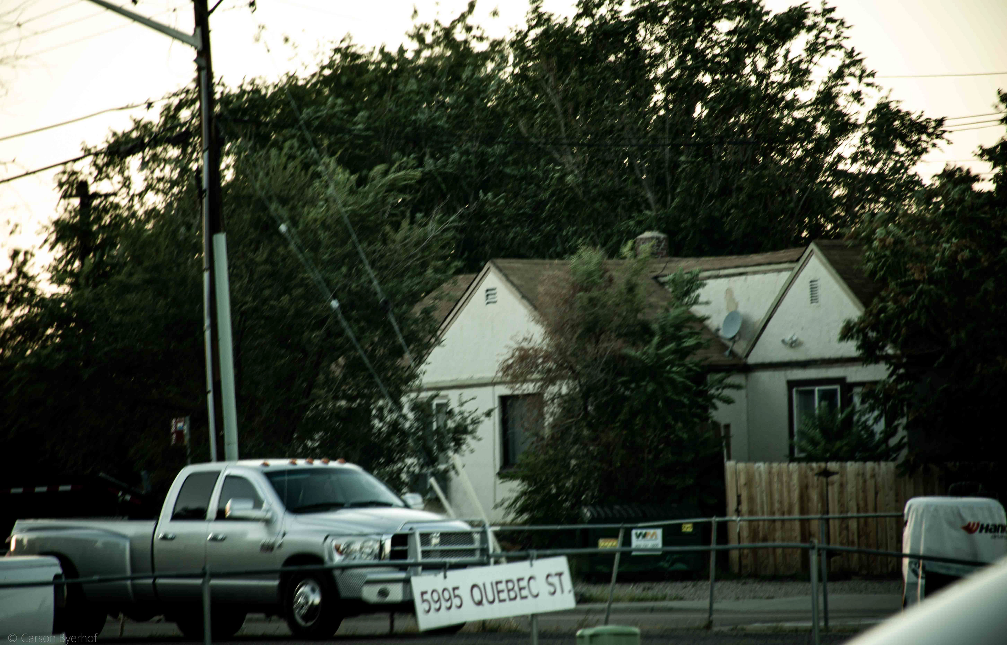
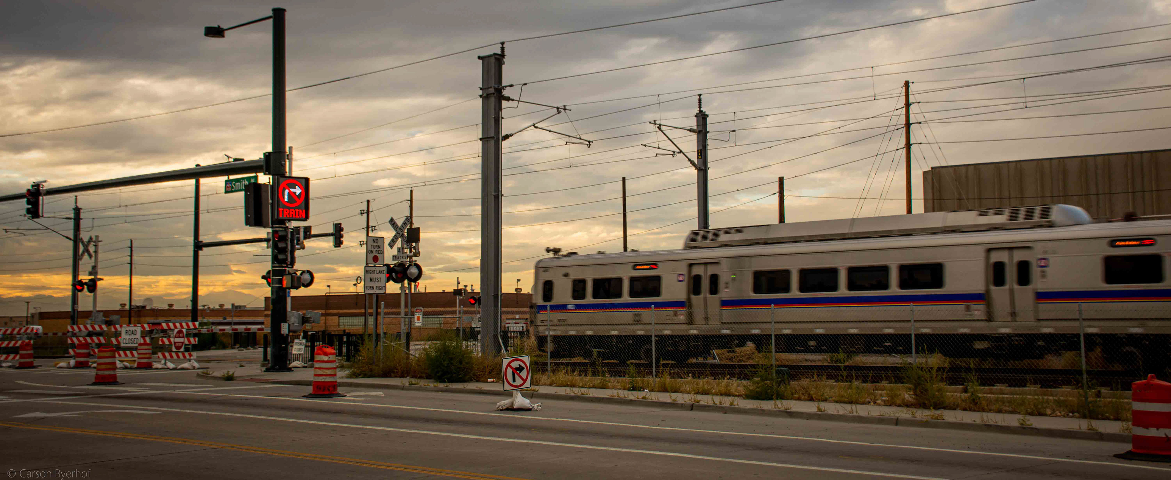
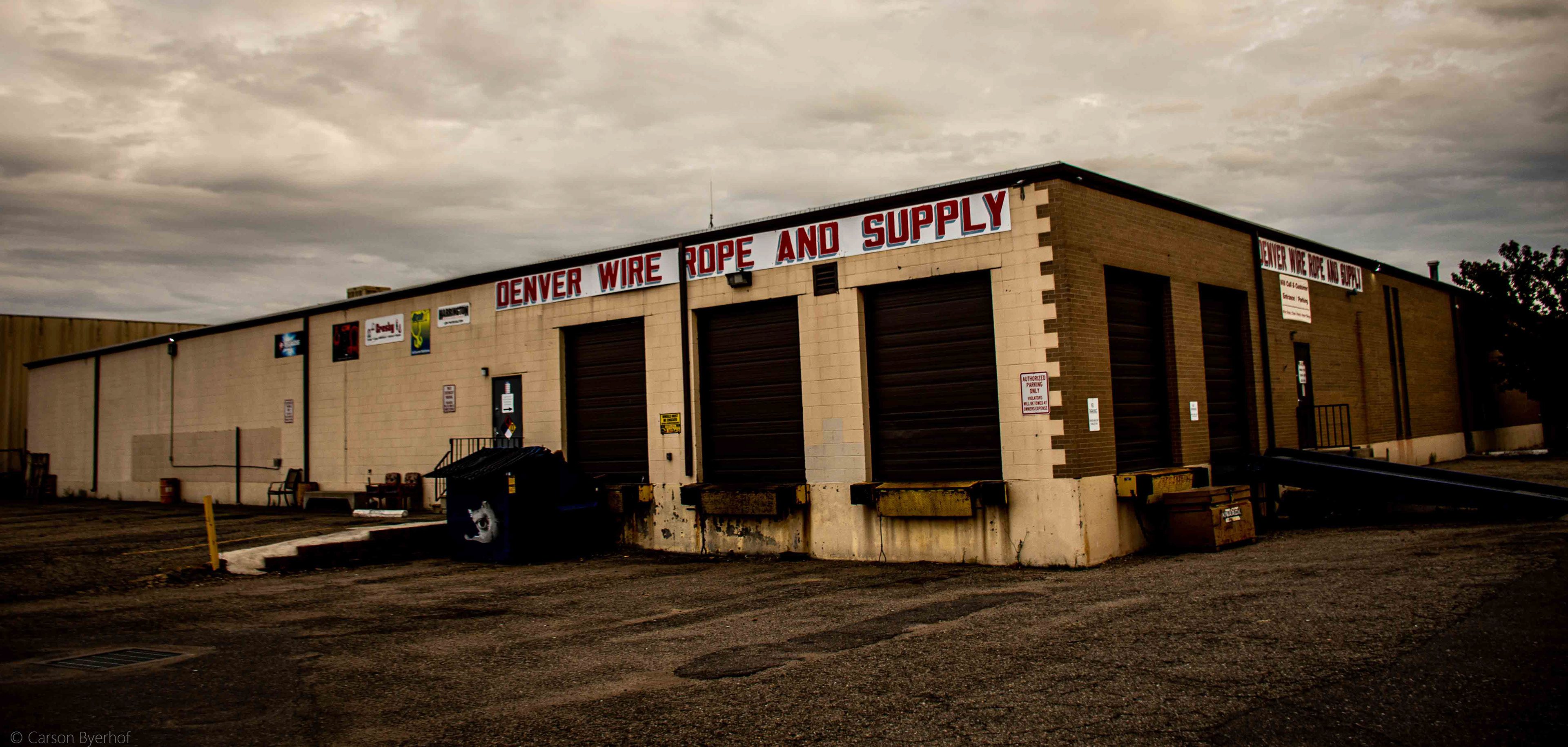
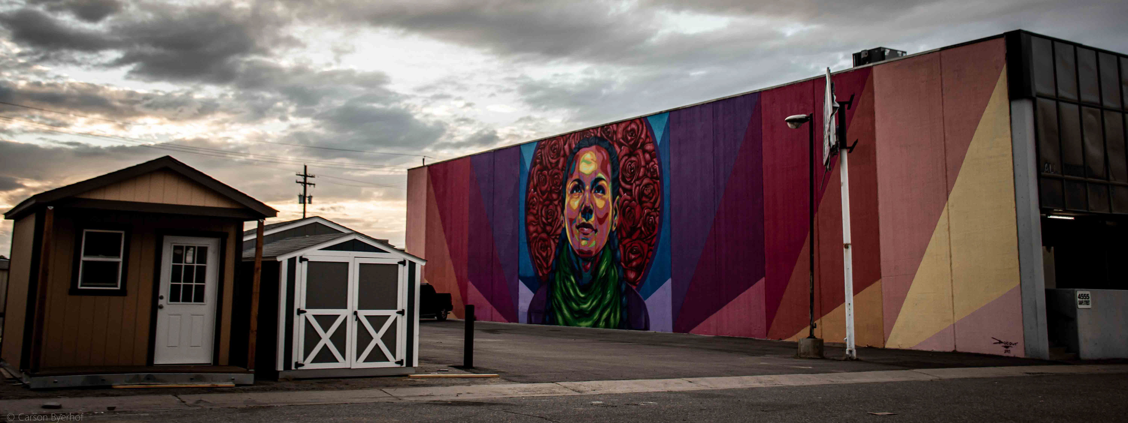
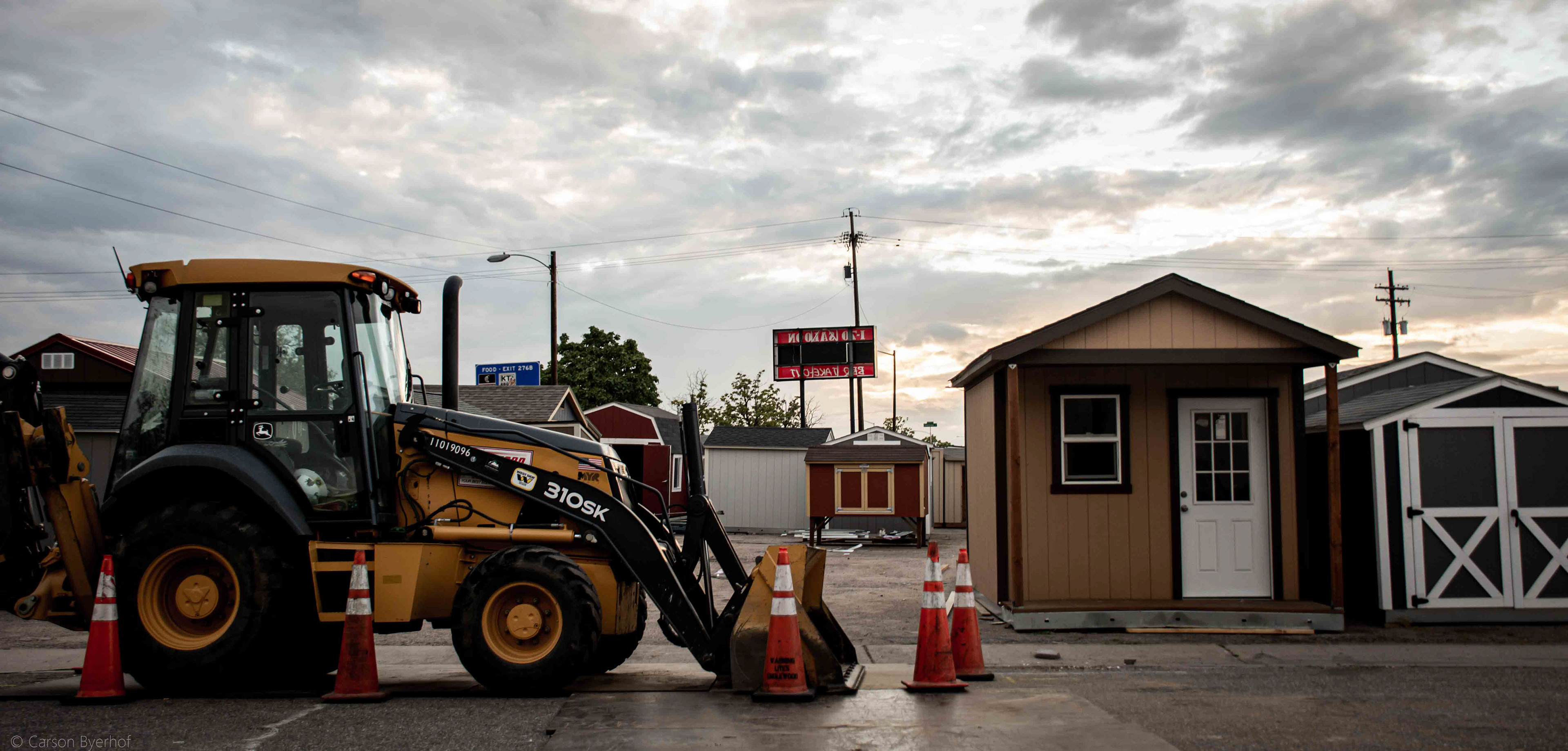
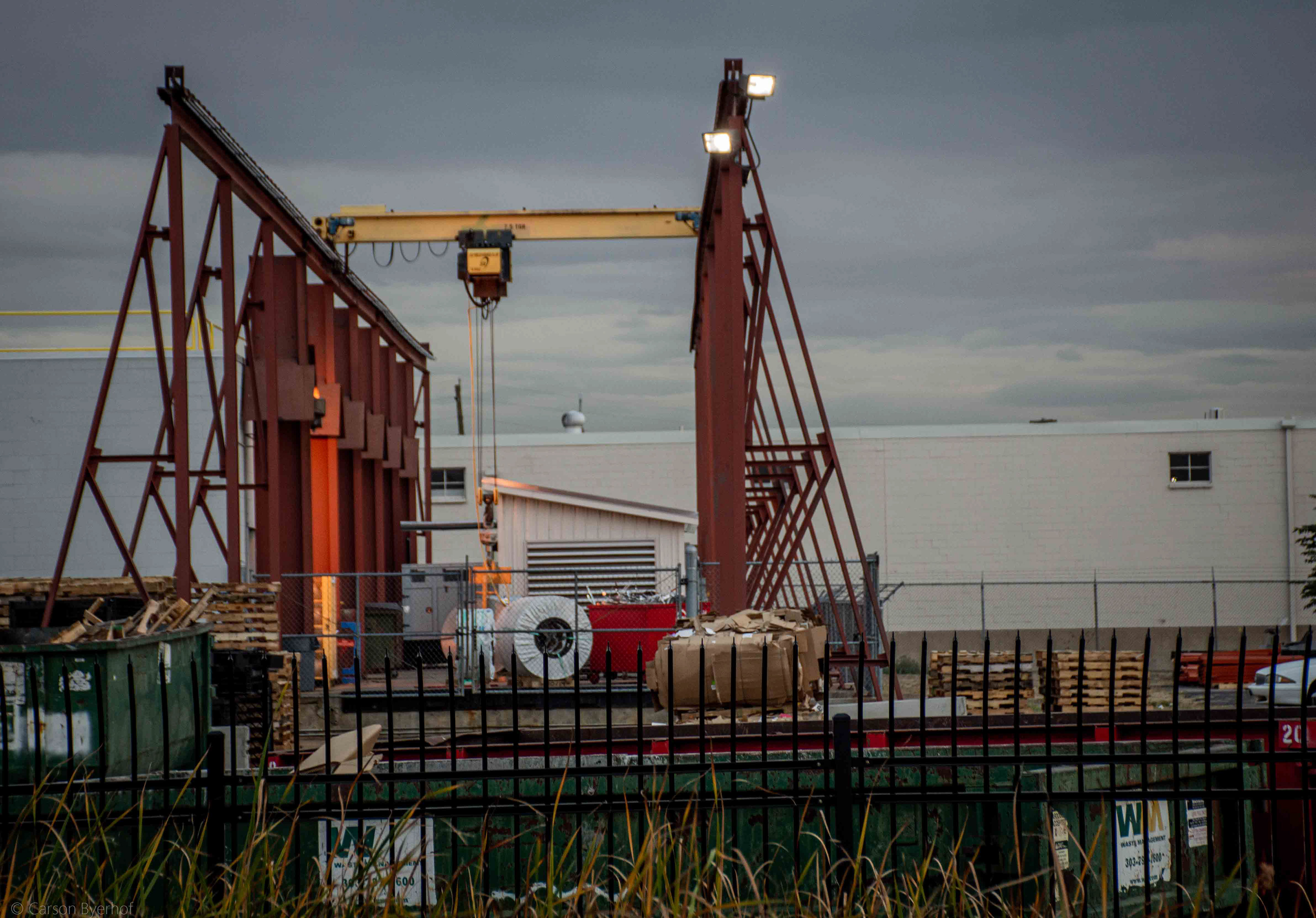
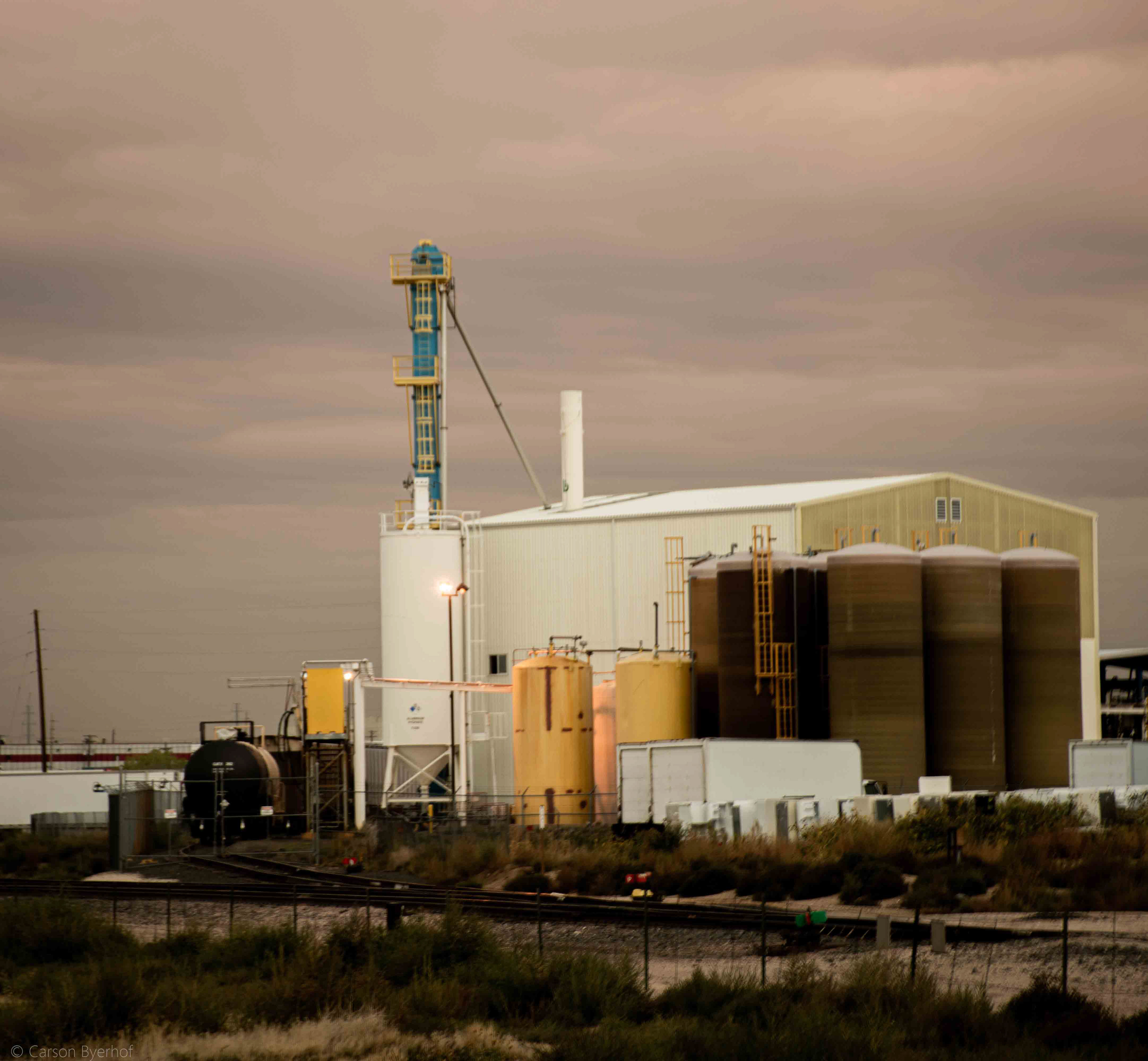
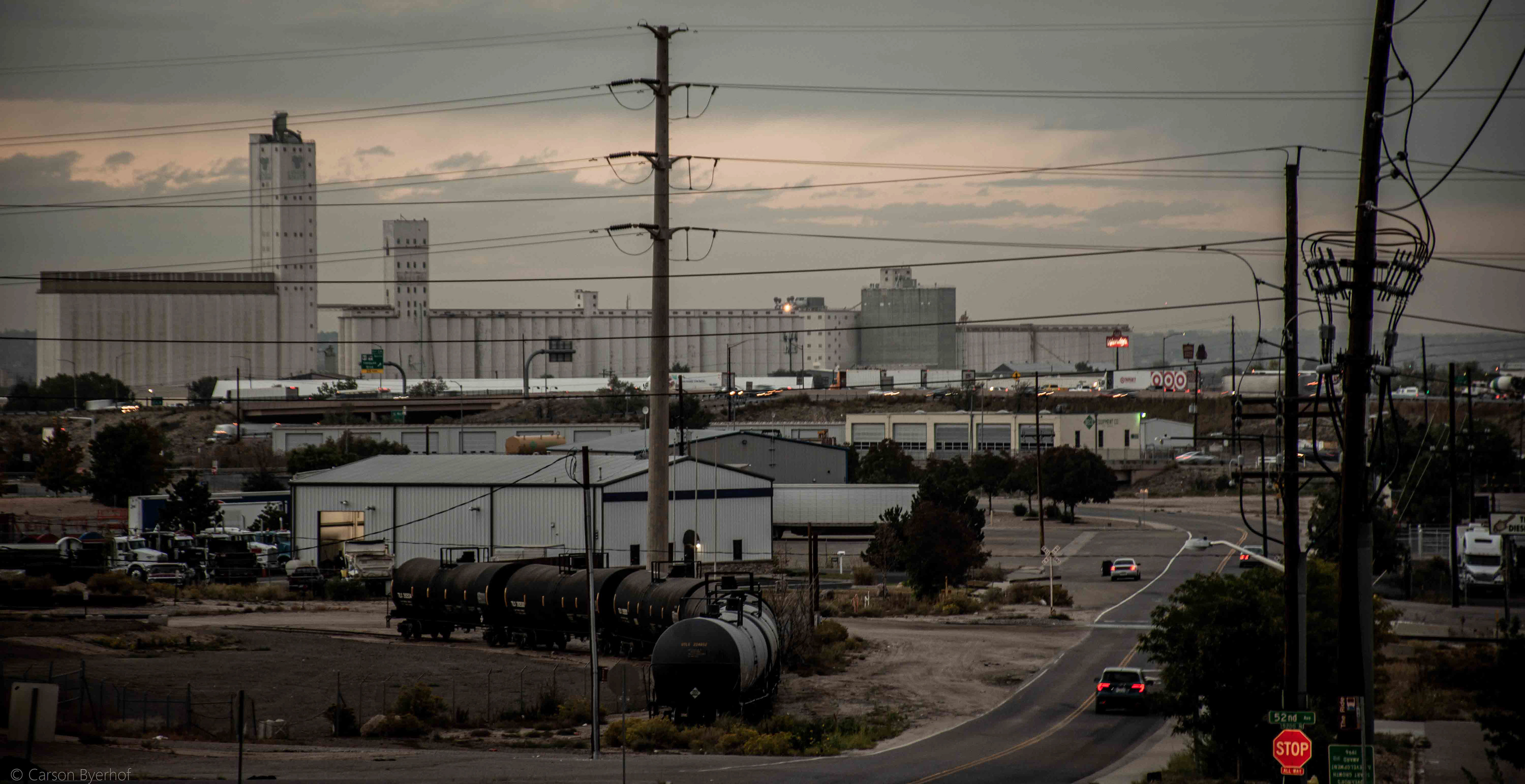
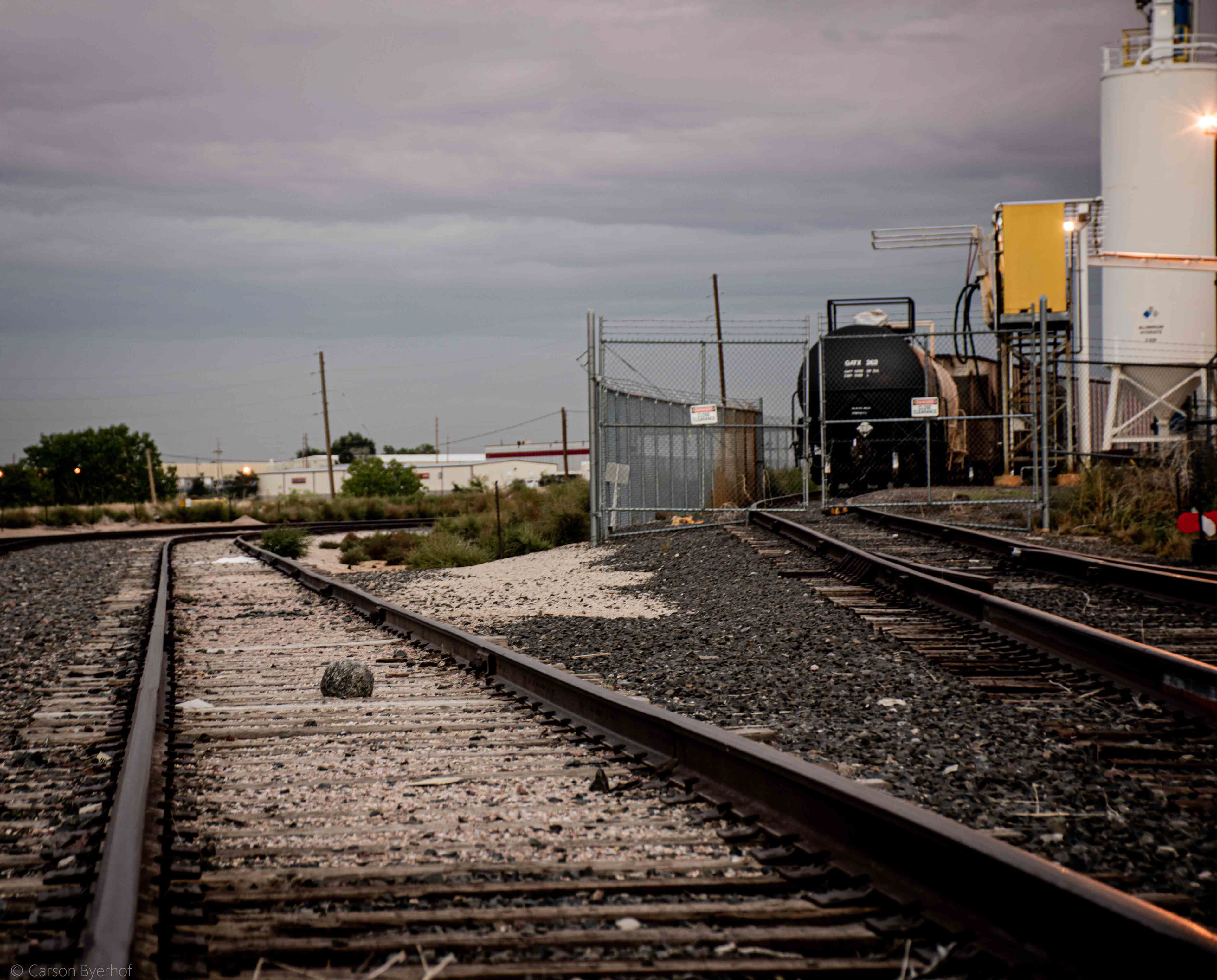
The best way to experience a place is immersion. Creating this master plan entailed numerous site visits. The area was scouted for the architectural style, density, and the unique elements which create its current identity. The area is found to be frequented with box warehouses, silos, rail (both freight and commuter), lower density roads, construction & distribution plants, and even sporadic cases of residential housing (although unsure if these houses were repurposed for industrial/commercial use).
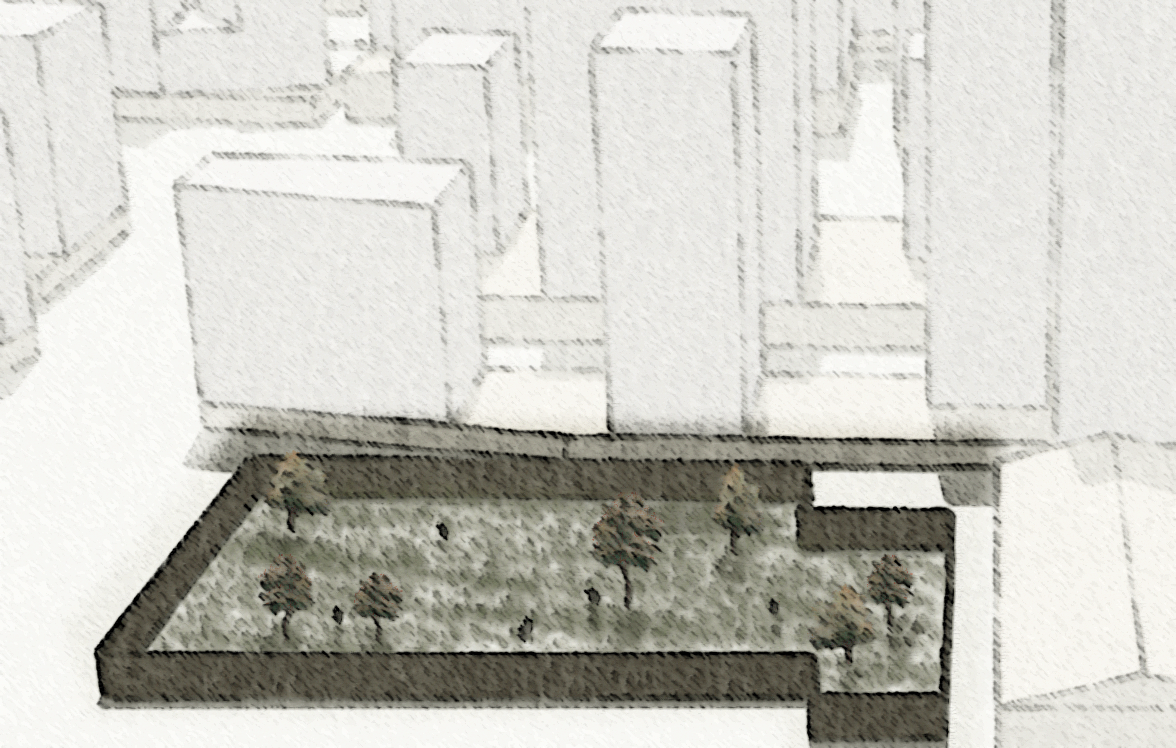
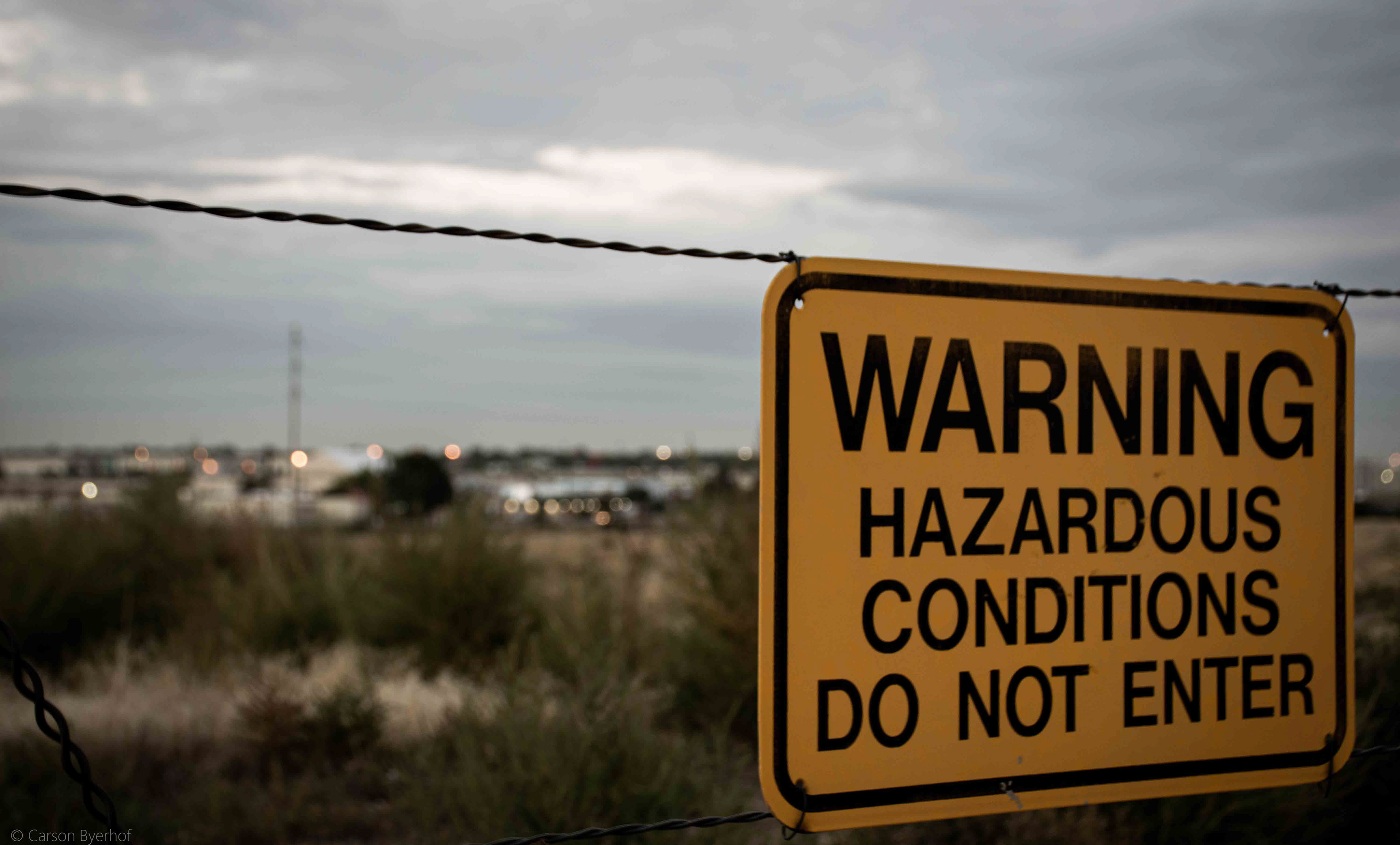
The Sandcreek industrial area holds a lot of green space. Further research, however, demonstrated that what seemed to be an open field, is a restricted Superfund site. Because of potential risks of health and environmental injustices, this site is proposed to be phased into a park to ensure no permanent structure (residential or commercial investment) is directly built upon the land. This park also presents an opportunity for phytoremediation education. This is explained in the final chapter.
Urban Design
What does innovation and creativity look like? While the specific transformation of Sandcreek into the Jungle is original, this question has prevailed in fields of urban design throughout history. In this chapter, the architectural character, density, and site circulation are proposed. It is important to note these proposals are not final, as they have not gone through public review. They are, however, cornerstone ideas to steer The Jungle’s urban design identity of innovation, creativity, and play.
Fashioning this master plan entailed bouncing between the catalytic projects and greater urban design. While they were created in tandem, they are separated in this proposal. This separation brings more flexibility to the ultimate development of the district. Certain components can be adopted, modified or discarded, dependent on the needs and desires of project stakeholders.
While catalytic projects are specific, urban design embodies components which are envisioned throughout the district. The district’s vision was built off of the 22@Barcelona case study. However, the specific urban design of the Barcelona district would not fit in the Denver context; therefore, other case-studies precedented The Jungle’s urban design.
Design Inspirations
Unlike The Jungle, the Barcelona@22 creators didn’t hold the same demands to alter the street network or block density, as it already fit with the fascinating urban design of Barcelona. Repurposing the Sandcreek industrial area to the vision of The Jungle, requires the existing street network, block density, and building mass & form, to be retrofitted to fit in with Denver’s urban fabric. And like the 22@Barcelona project, buildings need to be refashioned to entice habitation, work, and ‘play.’
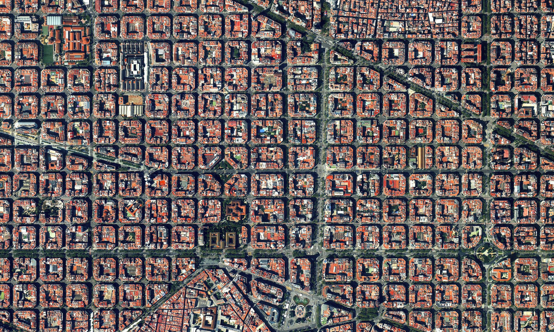
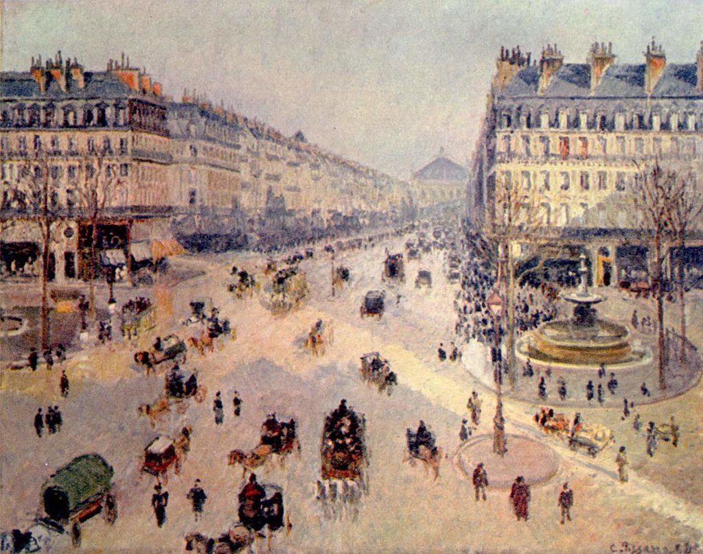
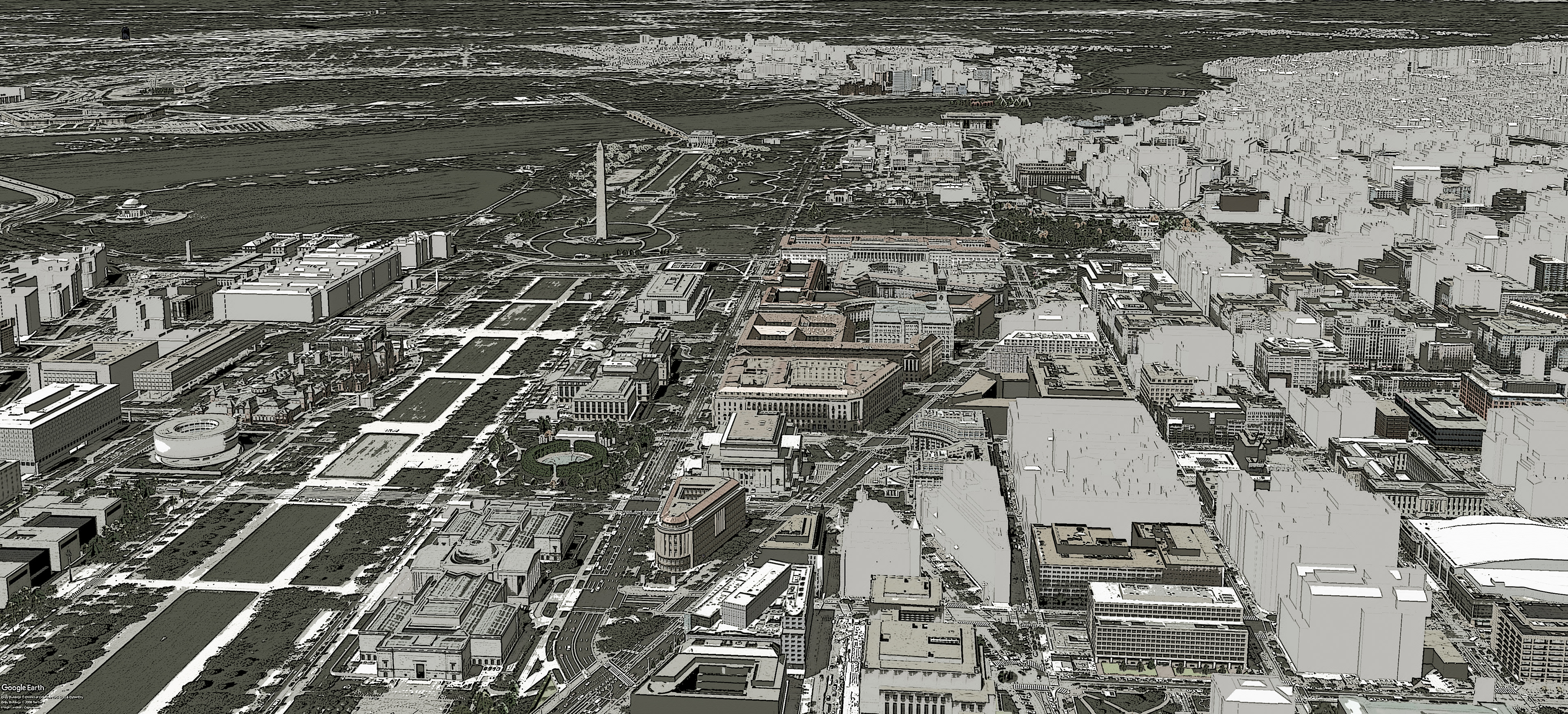
While the regular block density of Barcelona is intriguing, it would stand out in contrast to Denver’s rectangular block design. Similar desirable block density and way-finding can also be found in the urban designs from Pierre L’Enfant’s Washington DC and Georges-Eugène Haussmann’s Paris. In Washington DC and in Paris, the blocks are more rectangular, but large thoroughfares bring the eye to specific points of intrigue. The density in these cities is high, but without soaring towers which would likely intrude on the cherished scenery and view corridors in Denver.
Density, Bulk, & Circulation
The current density of the Sandcreek Industrial area is scattered box buildings which are uniform in height and materiality. Many of the buildings sit on large parcels where a lot of underutilized space is given to parking. The density of the area can be elevated through subdividing parcels to allow new development. New development can be held to design standards which bring architectural diversity and character; therefore augmenting human experience. This also preserves existing businesses and structures which are part of the existing identity, and a critical component to mitigating displacement.
Current Density
Proposed Density
Four structures are proposed for demolition (see proposed density). Their demolition is reasoned to connect the street circulation to surrounding neighborhoods. Collector roads are not aligned on opposing sides of Sandcreek. This presents an opportunity to connect these collectors with off-axis view corridors, similar to desirable features found in the precedent design studies.
Traffic Circulation
Pedestrian Oriented Infrastructure
Architectural Character
Architectural features such as materiality and setbacks are omitted from this plan to keep the project open to public review and future needs. Architectural character in this plan is focused on the blending of new and old structures.
The current uniformity of warehouses and garages is unappealing. However, introduction of novel development will bring architectural diversity to the district, which allows these existing structures to become part of the identity of the Jungle in a unique way. There are numerous examples in Denver and throughout the country where garages and warehouses have been transformed into captivating restaurants, retail stores, and even residential units. More unique to this plan, is the proposal to build over these existing structures.
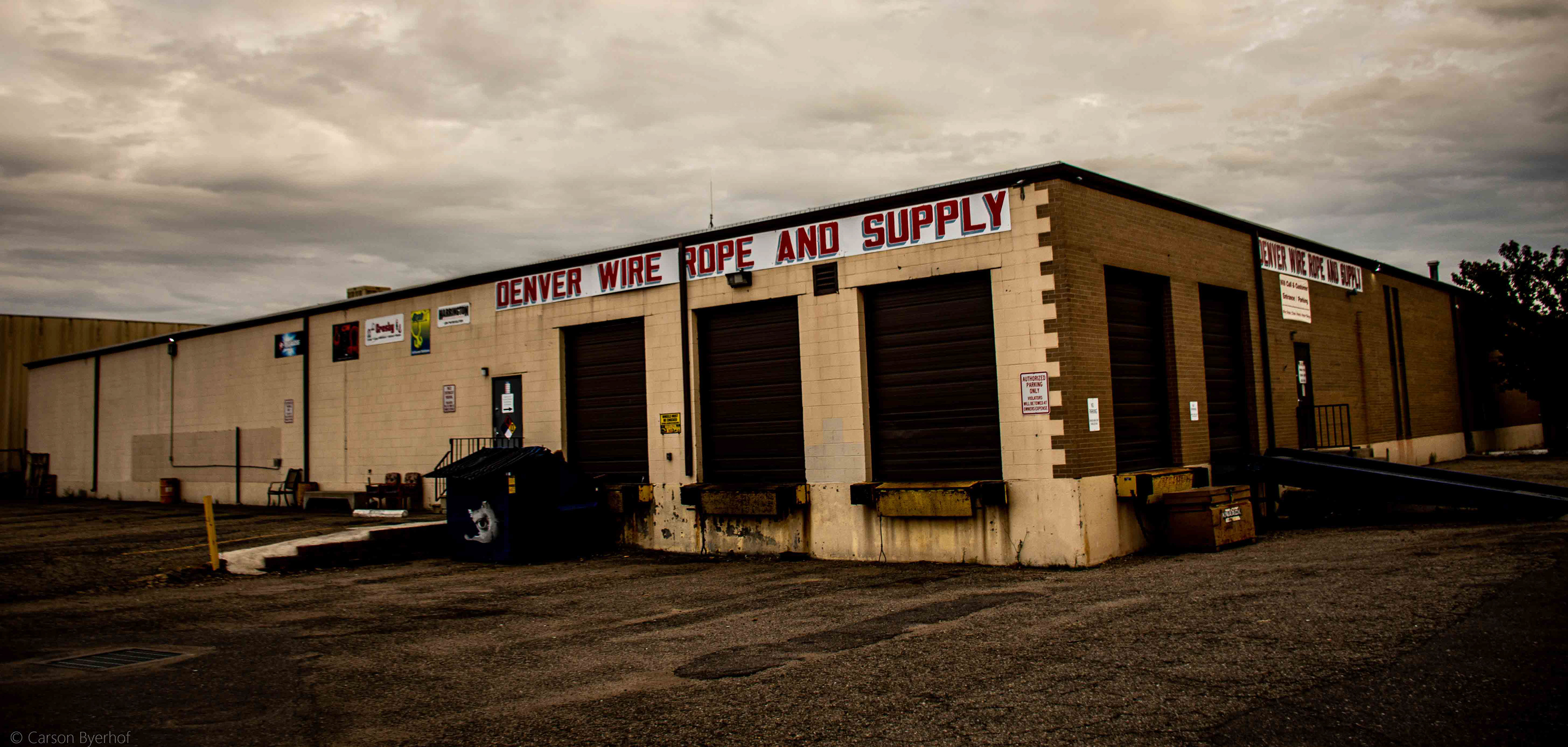
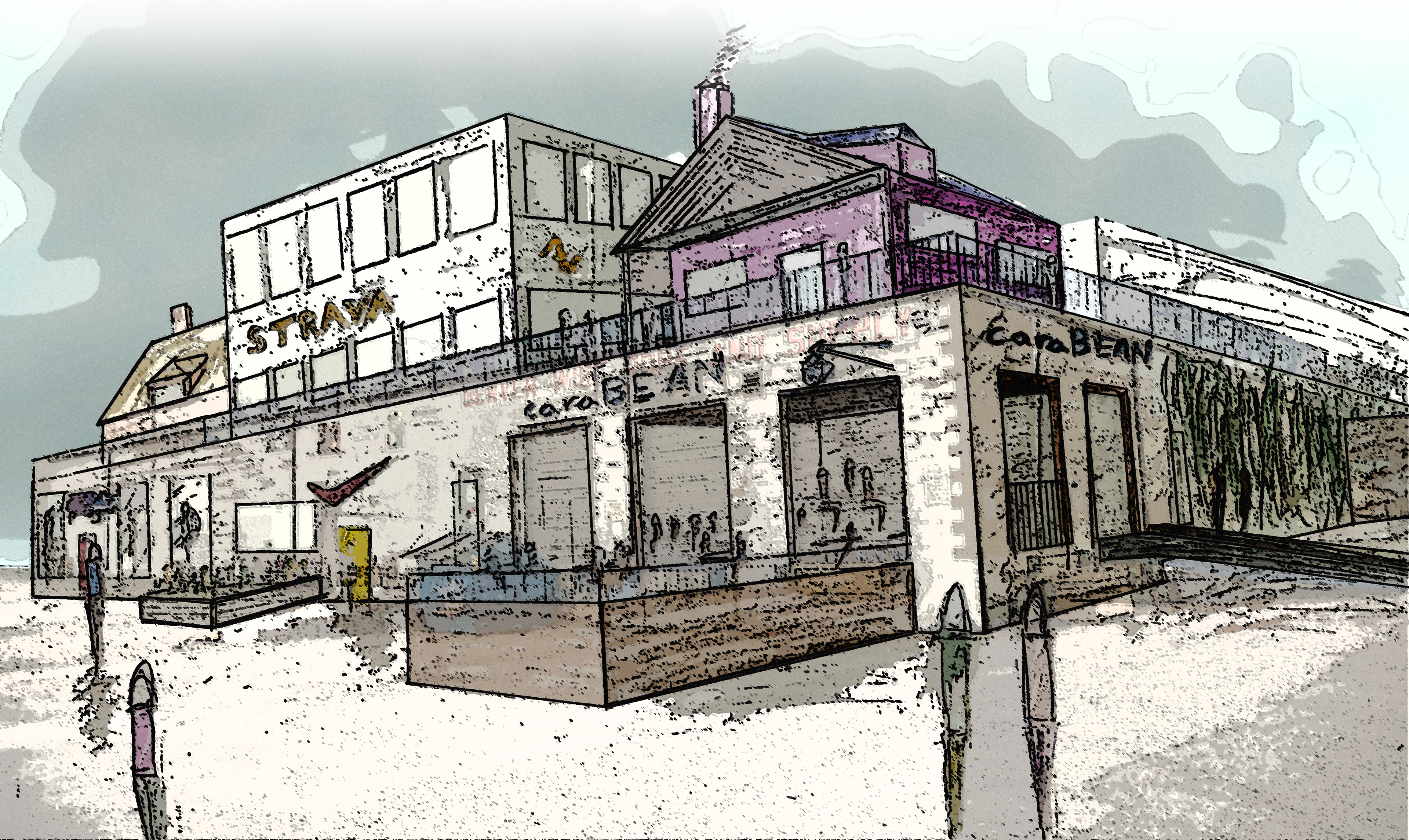
There is limited precedence of constructing buildings on top of buildings. Still, this innovative idea has not been explored in Denver. If the district were to apply this style with the existing structures, it would undeniably contribute to the Jungle’s identity - possibly inspiring the idea as unique way to softly add density throughout the greater Denver region. Engineering and cost analyses would need to proceed the universal adoption of this proposal as a zoning typology.
Catalytic Projects
Ecology and Park Network
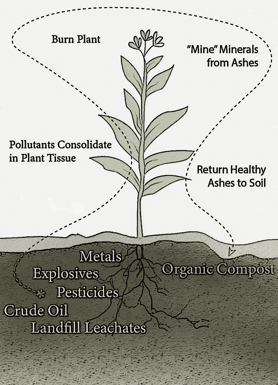
Phytoremediation
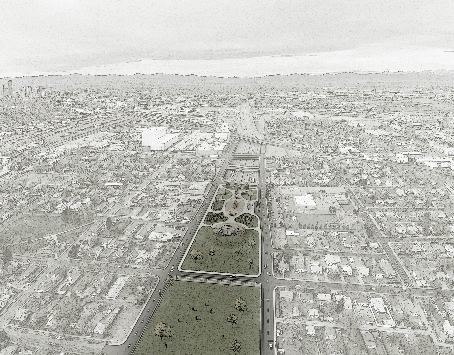
i70 Bridge (current)
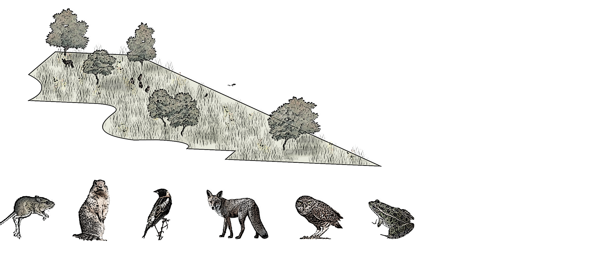
Ecological Composition
